Grant Bradbury Field Camp – 2023 Beardsley Kuper Field Camp Scholarship Winner
By admin | February 1, 2024
A large part of why I selected Idaho State University for my undergraduate in geosciences was due to the wide variety of topics covered and the physical and mental intensity of the field camp, and I am happy to report that it did not disappoint. The setting of ISU’s Lost River Field Station is absolutely stunning. The LRFS is situated about 15 miles north of Mackay, Idaho along the Big Lost River near the foot of Mt. Borah, Idaho’s tallest peak at 12,660 feet.
The general structure of coursework was 2-5 days of field work per project followed by either a full office day for the larger projects, or a half office day for the smaller ones. Typically, each project consisted of a geologic map, geologic history, a description of map units, and a cross section.
The first week was spent mapping sedimentary rocks in Darlington with Dr. Kurt Sundell of ISU. This exercise was primarily to test our mapping skills and introduce us to identifying folds based on plotted structural attitudes. It also served to help us use fine details in fossil succession, primarily the occurrence of marker fossils, to differentiate what would otherwise be identical grey carbonates.
The next week was geomorphology week, and we spent the week mapping river terraces and performing hydrologic measurements in Rock Creek, and mapping mass movement along Grant Creek with Dr. Glenn Thackaray of ISU. The Rock creek hydrology measurements were a combination of traditional analog methods such as cross-sectional area discharge calculations and more modern methods like salt dilution and a velocimeter. We also used differences in vegetative cover and cross cutting relationships to determine the relative ages of the different episodes of movement and movement style.
The third week was dedicated to volcanics, specifically Eocene Challis Volcanics, and we completed two maps in one week, one of the Grouse, ID area and one of Jim Canyon. These projects were completed with Dr. Shannon Kobs-Nawotniak of ISU. This week was almost exclusively dedicated to recognizing unconformities in the field and differentiating units based on subtle minerology changes. This week is also where writing good geologic histories came into play, as there were several tilting events and cross cutting dikes, so being able to spot subtle differences in bedding and incorporating it were paramount.
The fourth week was focused on igneous and metamorphic rock mapping in Boulder Creek with Dr. Kendra Murray of ISU and special guest Mark Schmitz with Boise State University. We also had a representative from Brunton Compasses, Monica, at camp that week. The primary objectives from this week were differentiating metamorphic and intrusive igneous rocks based on texture and composition differences. This was easily my favorite field site, as it was the most physically demanding and most beautiful field area.
The fifth and final week was dedicated to structure and was completed at Banana Canyon along the Big Lost River with Dr. David Pearson from ISU. This week was mostly focused on bringing all of our mapping skills together into a polished final project with a structural emphasis.
At the end of camp, I can confidently look back and say that I greatly improved my field geologist skills and am now far more competent and career ready than I was at the beginning of camp. I greatly appreciate the Beardsley-Kuper scholarship fund for allowing me to attend field camp without financial hardship. In addition to my professional development, I strengthened bonds with my existing friends and made new lifelong friends and professional contacts with students and futures geoscientists from across America.
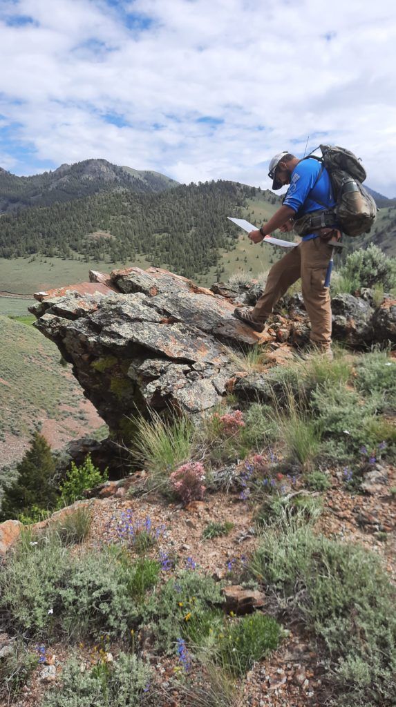
Observing slickenside lines in Smiley Creek Conglomerate, Bannana Canyon, ID

Using a velocimeter at Rock Creek, ID
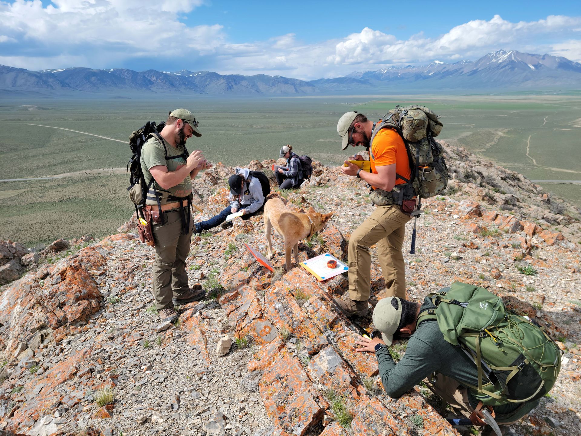
Recording attitudes of carbonates at Darlington, ID field area
Posted in Testimonials